
 EN
EN
 ar
ar bg
bg hr
hr cs
cs da
da nl
nl fi
fi fr
fr de
de el
el hi
hi it
it ko
ko no
no pl
pl pt
pt ro
ro ru
ru es
es sv
sv tl
tl iw
iw id
id lv
lv lt
lt sr
sr sk
sk sl
sl uk
uk vi
vi et
et hu
hu th
th tr
tr fa
fa ms
ms hy
hy ka
ka ur
ur bn
bn mn
mn ta
ta kk
kk uz
uz ku
ku
wireless wind speed and direction sensor
Temperature monitoring in Kingmach wireless wind speed and direction sensor gives engineers a way to separate environmental effects from structural change. Many materials expand and contract with heat. Sensors, cables, cabinets, and enclosures also behave differently under temperature stress. In bridges, temperature can affect strain and displacement records. In tunnels, it can interact with humidity and ventilation. In industrial areas, it may follow equipment operation. In energy, transportation, railway, and construction settings, a stable temperature record helps reviewers avoid treating a thermal pattern as a structural defect. The monitoring point should be placed according to the question being asked: material temperature, air condition, cabinet environment, or general site exposure. Each placement tells a different story, and the report should make that difference clear.
A good review habit is to compare the condition channel with the nearest asset behavior instead of reading it as a standalone weather value. That keeps the record tied to slope movement, bridge response, tunnel equipment, dam seepage, drainage behavior, or cabinet reliability.
The installation file should explain why the location represents the monitored area. If the point is sheltered, shaded, exposed, buried, elevated, or placed inside an enclosure, that fact changes how later readings should be understood by maintenance staff.
During abnormal events, the first question is not only whether the value crossed a limit. The reviewer should ask what changed around the site, whether the related structure reacted, and whether a field inspection confirmed the same pattern.
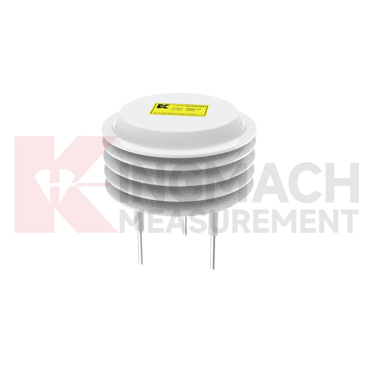
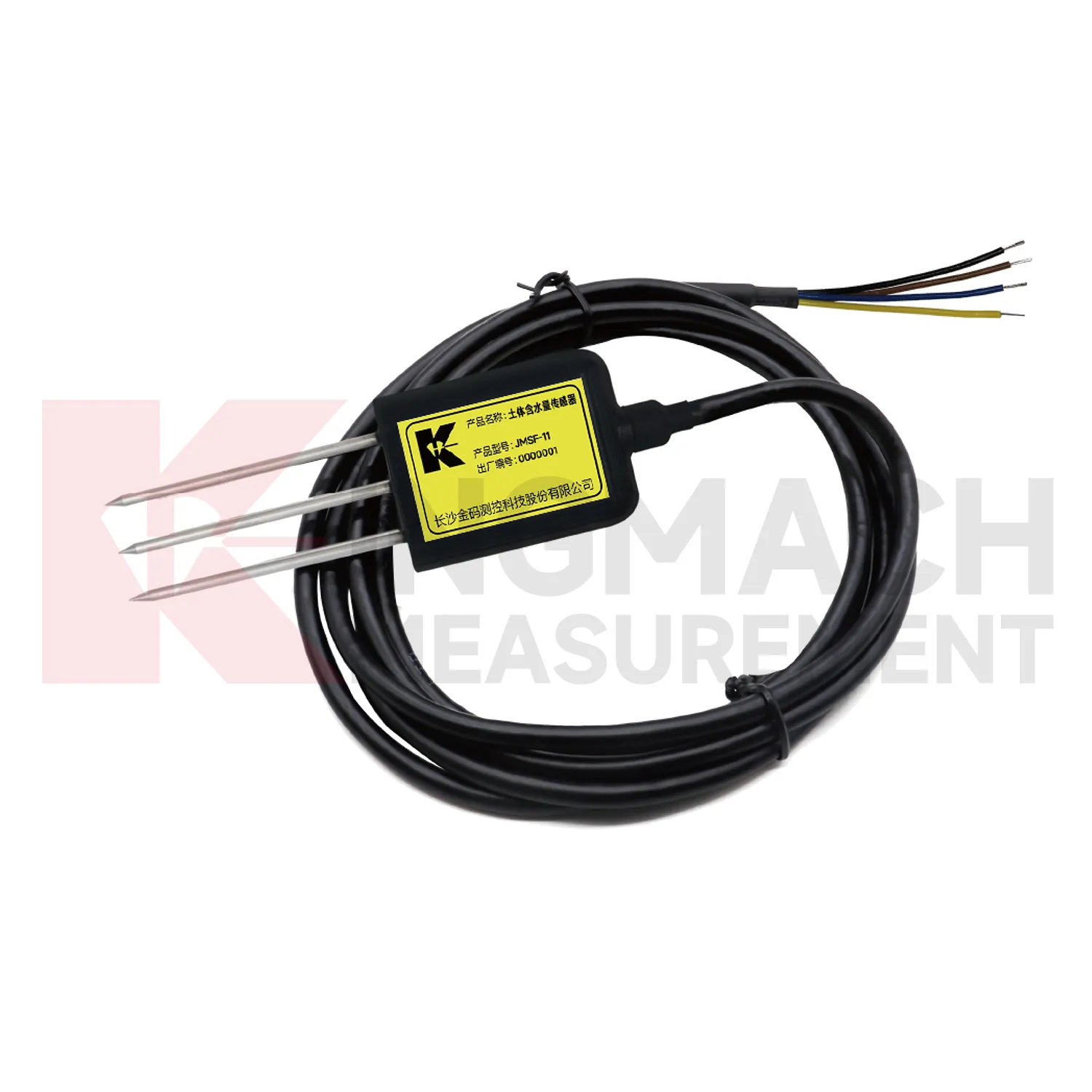
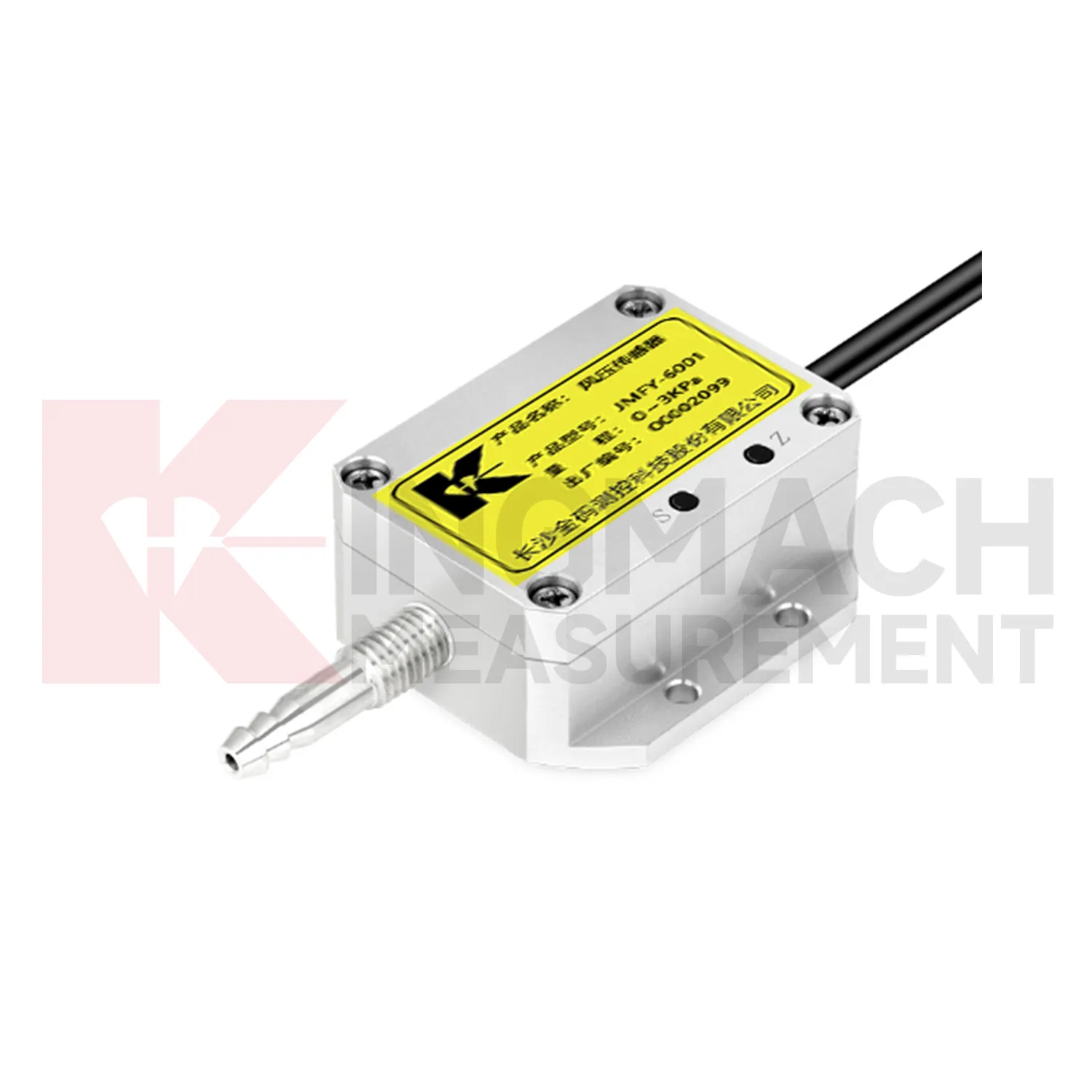
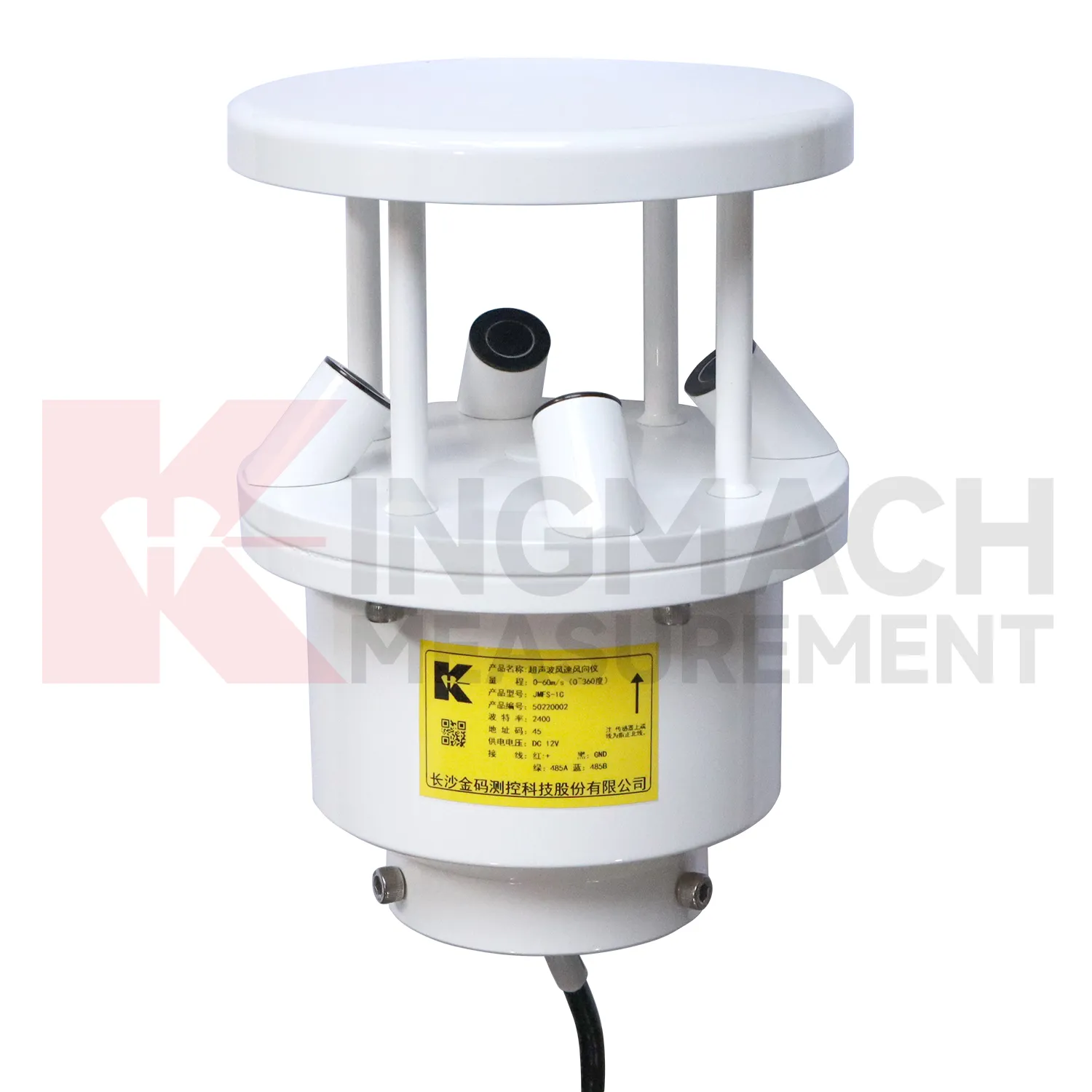
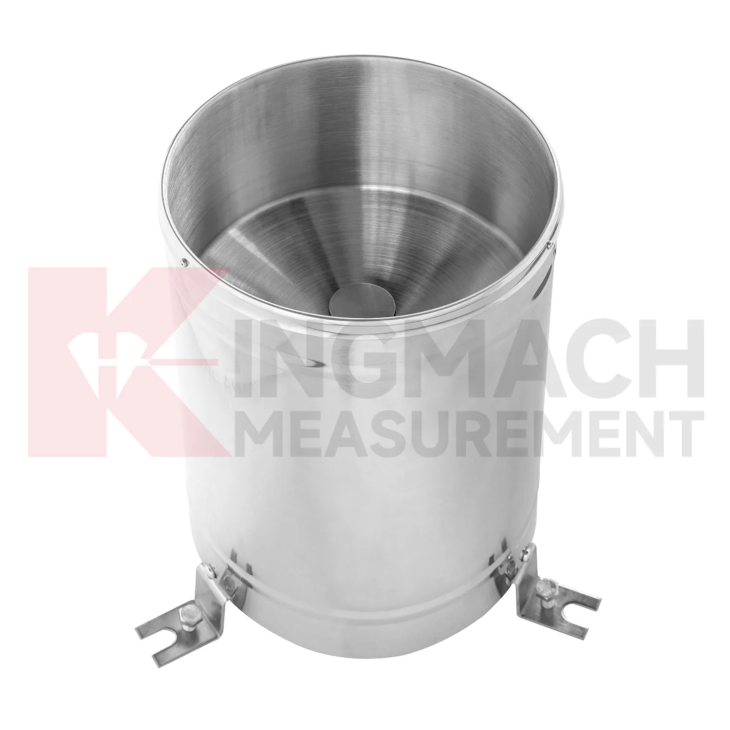
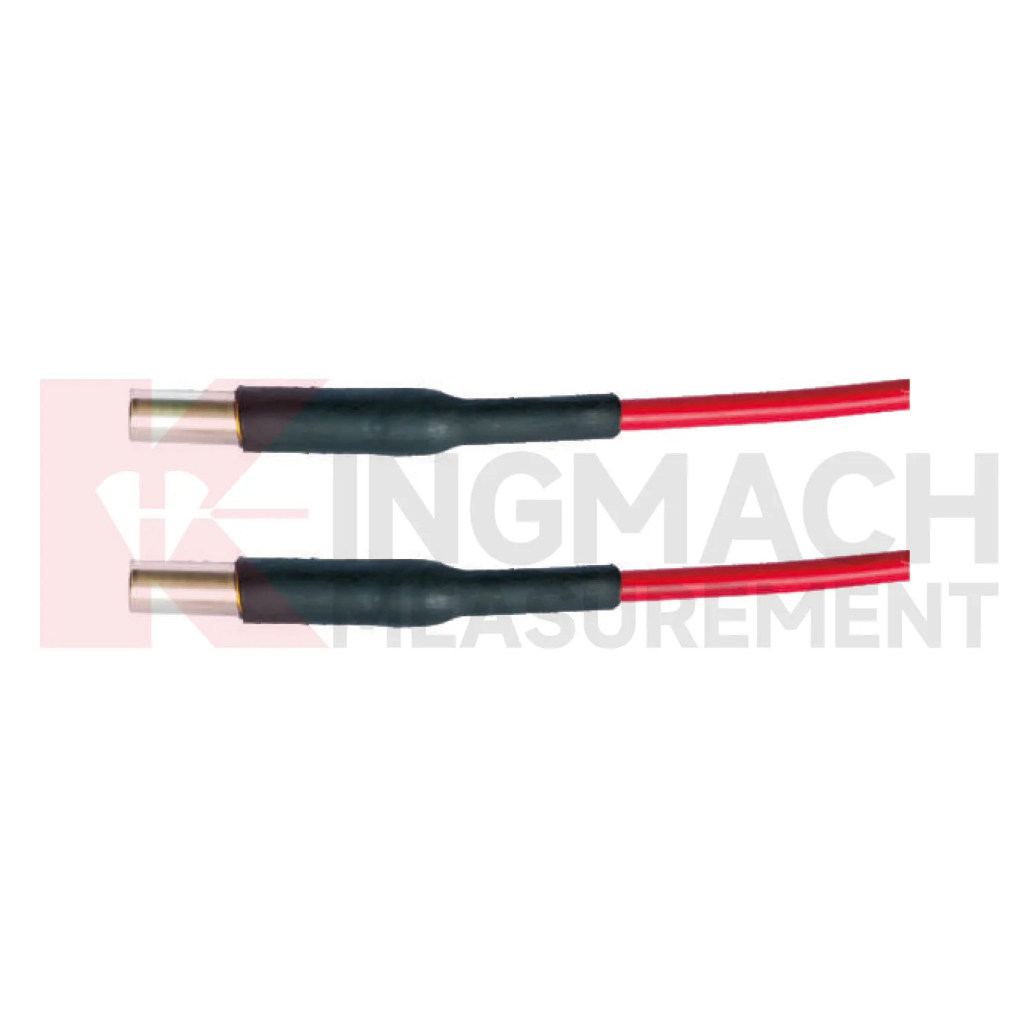
Application of wireless wind speed and direction sensor
Tunnel and subway projects use Kingmach wireless wind speed and direction sensor to follow underground air conditions, water-related changes, and equipment environments. Temperature and humidity can affect cabinet reliability, corrosion risk, sensor stability, and worker comfort. Rainfall outside a portal may relate to seepage or slope movement near entrances. Airflow or pressure differences can matter in shafts, stations, equipment rooms, and construction zones. Environmental readings should be reviewed with settlement, convergence, displacement, crack records, water-level observations, and maintenance notes. Point naming is especially important underground because many sections look similar after construction. A useful record includes chainage, side, elevation, equipment area, and sensor purpose. When a fault, leak, or deformation appears, environmental data helps the team understand whether the change followed weather, ventilation, construction, or equipment operation.
Underground maintenance teams also need environmental records that point to access reality. A damp equipment room, a warm cabinet zone, a portal affected by rain, and a ventilated platform area may all belong to the same project but require different responses. The report should keep these areas separate.
For handover, tunnel records should preserve section drawings, cabinet names, drainage notes, ventilation changes, and photographs after installation. This helps future teams know whether a humidity or temperature change came from site operation, water entry, seasonal weather, or equipment relocation.
The future of wireless wind speed and direction sensor
Wind context will become a stronger part of future Kingmach wireless wind speed and direction sensor for bridges, towers, airports, marine structures, and high buildings. Wind speed alone is often not enough; direction, gust timing, pressure, temperature, and structural response all matter. Future platforms should connect wind records with acceleration, tilt, displacement, strain, and inspection events. When vibration rises, the reviewer can quickly judge whether it matched known exposure or points to a separate issue. This will improve confidence during storms and high-wind periods. It will also help owners decide when to schedule inspection, restrict access, or compare present response with earlier events.
Wind-event records should also keep exposure notes, station height, nearby obstructions, and maintenance access visible. A sensor mounted on a roof edge, bridge tower, airport mast, or coastal structure may see very different airflow from a sheltered point nearby. Future reporting should make that difference clear so teams do not compare unrelated wind records as if they represent the same condition.
For long-term review, repeated wind events can become a useful operating history. Owners can compare similar wind directions across seasons, check whether structural response remains stable, and decide whether an inspection is needed after a severe event. That turns wind monitoring into a maintenance planning tool rather than only a weather record.
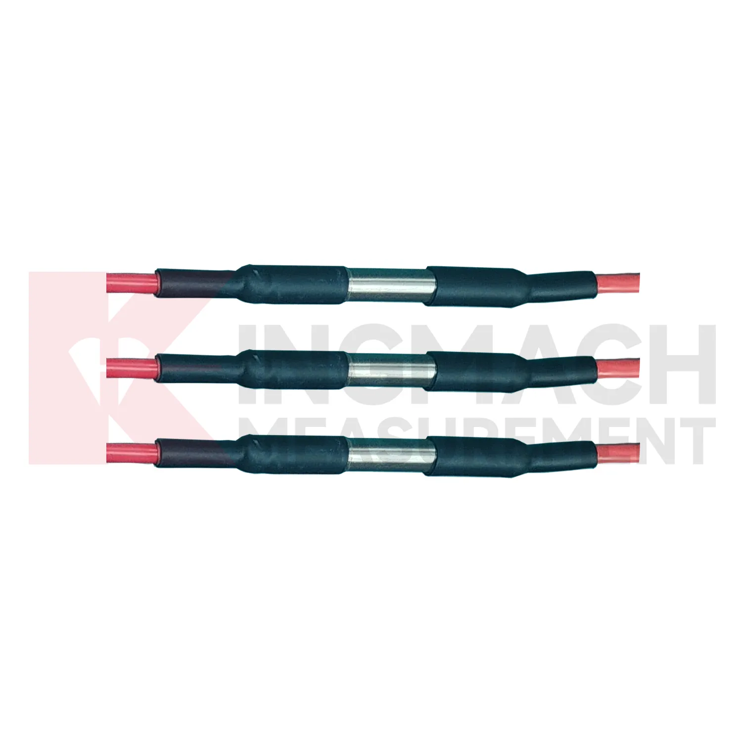
Care & Maintenance of wireless wind speed and direction sensor
Wind-station maintenance for Kingmach wireless wind speed and direction sensor should preserve exposure and mounting stability. Check for new obstructions, loose poles, tilted brackets, damaged connectors, lightning effects, corrosion, ice, salt, dust, and cable strain. The wind point should represent the monitored bridge, tower, airport area, marine site, tunnel portal, or construction zone. If a nearby structure, scaffold, crane, or temporary cover changes airflow, the record may no longer explain the asset. Maintenance notes should state what was inspected, what was cleaned, and whether the first readings after work looked normal. Reliable wind data depends on both instrument condition and a clear flow path.
A good review habit is to compare the condition channel with the nearest asset behavior instead of reading it as a standalone weather value. That keeps the record tied to slope movement, bridge response, tunnel equipment, dam seepage, drainage behavior, or cabinet reliability.
The installation file should explain why the location represents the monitored area. If the point is sheltered, shaded, exposed, buried, elevated, or placed inside an enclosure, that fact changes how later readings should be understood by maintenance staff.
Kingmach wireless wind speed and direction sensor
Indoor and underground conditions are also part of Kingmach wireless wind speed and direction sensor. Temperature and humidity records in subways, tunnels, mines, shopping areas, construction rooms, and equipment cabinets can explain corrosion, condensation, sensor faults, and uncomfortable operating conditions. A monitoring cabinet may fail after a humidity rise. A tunnel section may show moisture patterns after rainfall or ventilation changes. A building floor may need air-condition context during vibration or structural testing. These records are not decorative dashboard values. They help maintenance teams know whether the environment is stressing instruments, structures, or working areas. Clear point names and stable placement are important because indoor conditions can change sharply over short distances.
A good review habit is to compare the condition channel with the nearest asset behavior instead of reading it as a standalone weather value. That keeps the record tied to slope movement, bridge response, tunnel equipment, dam seepage, drainage behavior, or cabinet reliability.
The installation file should explain why the location represents the monitored area. If the point is sheltered, shaded, exposed, buried, elevated, or placed inside an enclosure, that fact changes how later readings should be understood by maintenance staff.
FAQ
Q: What does Kingmach wireless wind speed and direction sensor measure?
A: It measures site conditions such as rainfall, wind, temperature, humidity, pressure, and soil wetness so engineers can compare the environment with structural or ground behavior.
Q: Why is this data important?
A: Environmental conditions often explain why deformation, vibration, seepage, cabinet faults, or strain changes occur at a particular time.
Q: Should these records be reviewed alone?
A: No. They are most useful when placed beside settlement, displacement, tilt, load, strain, vibration, inspection notes, and maintenance records.
Q: How should a station be planned?
A: Start with the engineering risk, then decide which condition must be measured, where it should be measured, and which structural record it supports.
Q: What makes a good environmental record?
A: Clear location, correct units, stable placement, protected hardware, time alignment, and visible maintenance notes make the record useful over time.
During abnormal events, the first question is not only whether the value crossed a limit. The reviewer should ask what changed around the site, whether the related structure reacted, and whether a field inspection confirmed the same pattern.
Reviews
Michael Anderson
The strain gauges and load cells are extremely accurate and stable. They performed very well in our bridge monitoring project. Highly recommended!
Ryan Lewis
Fast delivery and excellent product quality. The accelerometers and tiltmeters are highly reliable. Strongly recommend this company.
Latest Inquiries
To protect the privacy of our buyers, only public service email domains like Gmail, Yahoo, and MSN will be displayed. Additionally, only a limited portion of the inquiry content will be shown.
Charlotte***@gmail.comUnited Arab Emirates
Hi, we require instrumentation cables suitable for harsh environments. Could you advise on specifica...
Harper***@gmail.comIndia
Dear Sir, we are planning to procure a complete monitoring system including strain gauges, tiltmeter...
Related product categories
- semiconductor based temperature sensor
- semiconductor based ic temperature sensor
- semiconductor-based temperature sensors
- resistance temperature detector sensor
- resistive temperature sensor
- resistance temperature sensor
- platinum resistance temperature sensor
- resistive temperature sensors
- resistance type temperature sensors
- resistance temperature sensors
- temperature sensor resistance
- ambient temperature sensor resistance