
 EN
EN
 ar
ar bg
bg hr
hr cs
cs da
da nl
nl fi
fi fr
fr de
de el
el hi
hi it
it ko
ko no
no pl
pl pt
pt ro
ro ru
ru es
es sv
sv tl
tl iw
iw id
id lv
lv lt
lt sr
sr sk
sk sl
sl uk
uk vi
vi et
et hu
hu th
th tr
tr fa
fa ms
ms hy
hy ka
ka ur
ur bn
bn mn
mn ta
ta kk
kk uz
uz ku
ku
Hydrostatic Leveling System
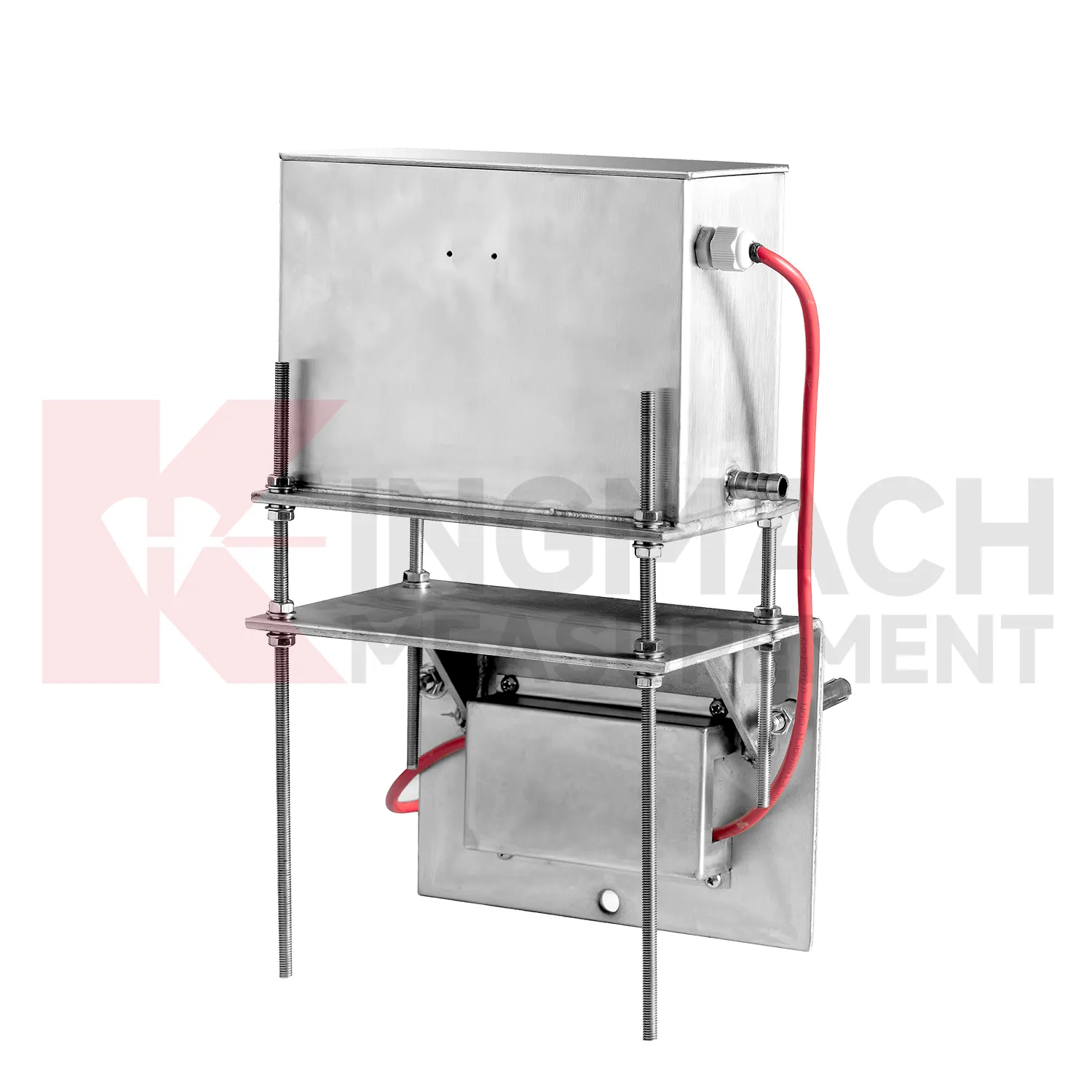
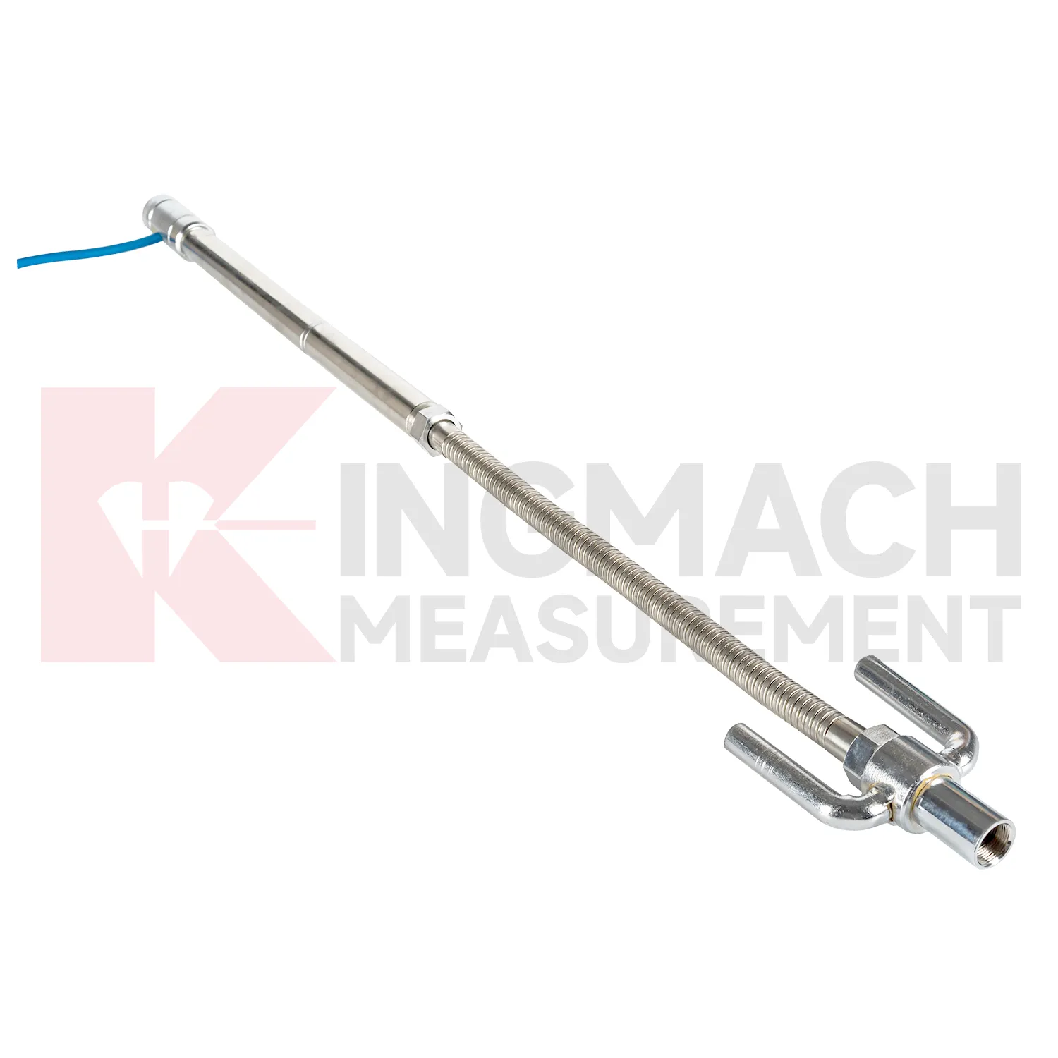
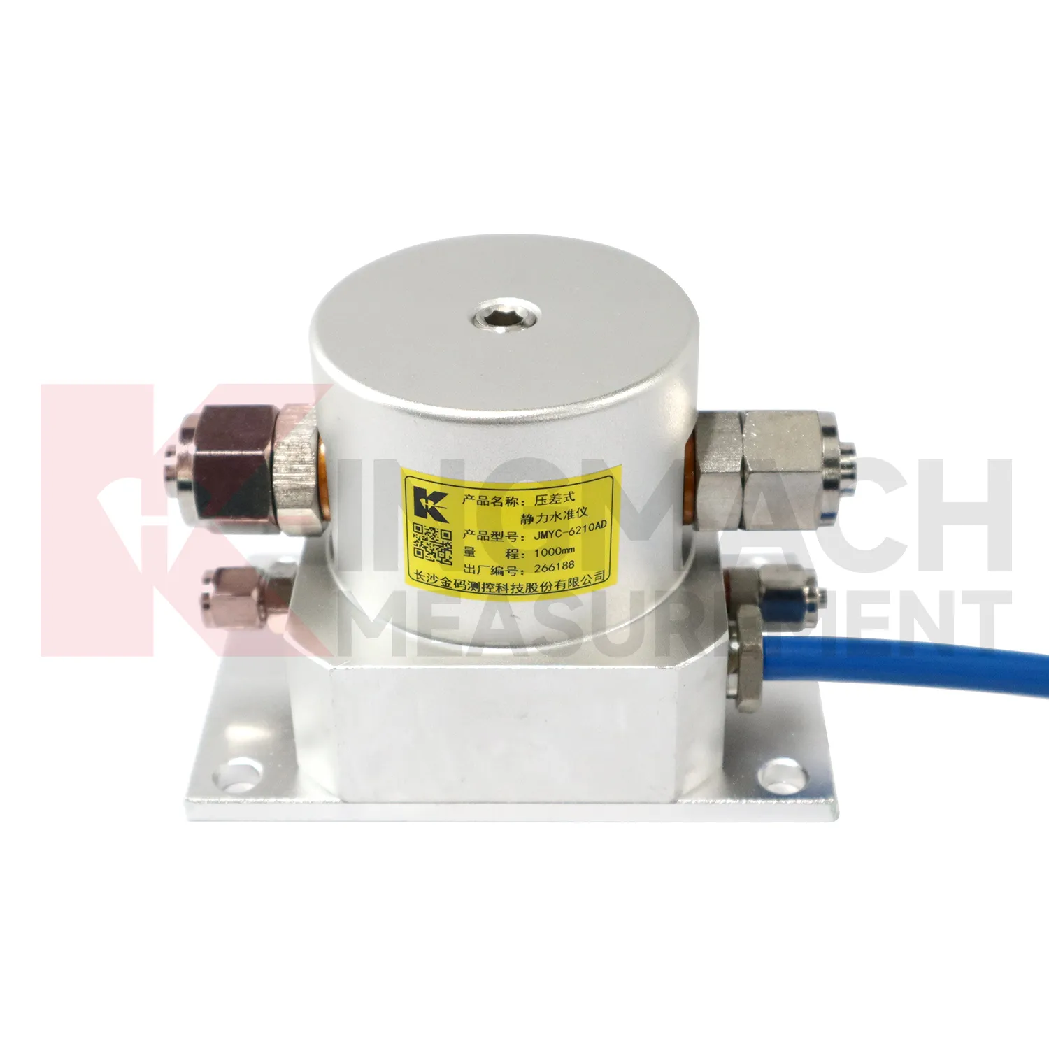
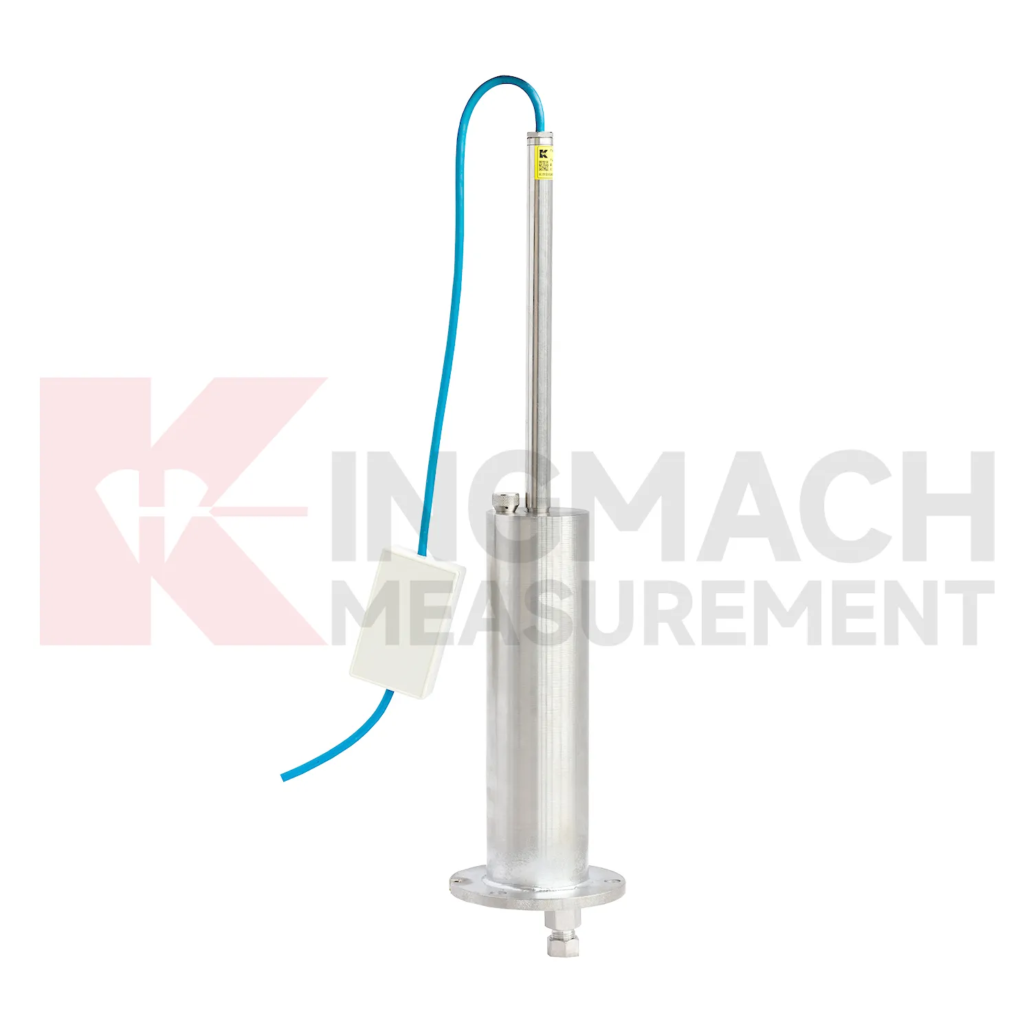
The JMYC-62XXAD wide-range differential pressure hydrostatic level sensor extends Kingmach Hydrostatic Leveling System into projects where settlement may be too large for micro range instruments. It works as a reference-point hydrostatic system for uneven pavement settlement, nonlinear cross-section settlement, soft foundation treatment, land reclamation foundations, dam settlement, bridge deflection, slope stability, and building settlement. Published specifications include 500 mm, 1000 mm, 2000 mm, and 4000 mm ranges, 0.1 mm resolution, 0.2%FS accuracy, RS485 output, DC 9V to 24V supply, power consumption below 0.5W, and an operating temperature from -30 degrees Celsius to +80 degrees Celsius. The instrument is especially relevant when a profile may keep moving during filling, preloading, or staged construction. Planning should define the fixed reference point first, then divide the section into measuring locations that can reveal uneven deformation. Cable protection, cabinet access, sensor elevation, and construction vehicle paths need early coordination. When the data is reviewed later, the wide range helps distinguish gradual consolidation from sudden local movement across a road, reclamation area, or embankment section.
Application of Hydrostatic Leveling System
Building projects use Hydrostatic Leveling System when a foundation, basement, column line, retaining wall, or adjacent ground area needs a dated vertical movement record. The work often starts before the permanent structure is complete: excavation, dewatering, pile work, concrete loading, and backfilling can all change elevation patterns. Kingmach JMDL-47XXAT is relevant to pile foundation settlement and base uplift in deep foundation pits, while JMDL-62XXADT or JMQJ-62XXADT hydrostatic sensors can compare several building points from one reference. A useful layout may follow a gridline instead of only the most visible cracks, because differential movement across a structural bay is often more important than one isolated value. The record should connect each channel to a floor level, nearby column or wall mark, construction date, water condition, and visual inspection note. If one side of a basement drifts while another remains steady, the trend can guide more focused review. For occupied buildings, stable wiring, protected cabinets, and clear point labels matter because readings may continue through many inspection cycles.
The future of Hydrostatic Leveling System
Remote infrastructure will shape the future of Hydrostatic Leveling System. Many settlement points sit along long railways, expressways, dams, embankments, slopes, and tunnel portals where routine manual reading is expensive and sometimes unsafe. Low-power acquisition, wireless gateways, solar power, and clear cabinet layouts can reduce unnecessary visits while keeping settlement trends visible. Kingmach hydrostatic sensors and settlement gauges that support remote data collection can fit this direction, especially when RS485 channels, power supply, and reference points are documented well. Remote monitoring should still include scheduled field checks, because tubes, probes, cables, and reference points can be affected by weather and construction. The best future setup will combine fewer emergency trips with better evidence for deciding when a site visit is truly needed. The practical goal is to keep settlement data understandable after the original installation crew has left, so owners can compare old and new readings without reconstructing the field history from memory. The same record should remain readable for designers, contractors, owners, and maintenance teams, because settlement monitoring often continues long after the first construction report is finished.
Care & Maintenance of Hydrostatic Leveling System
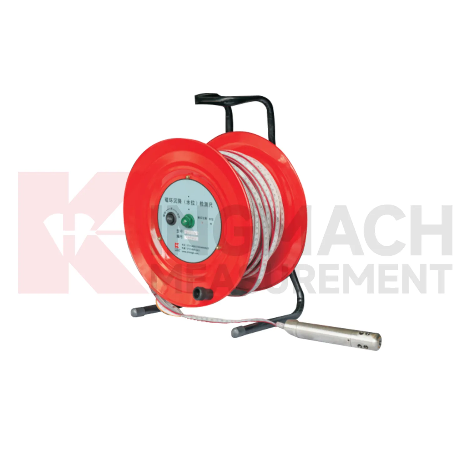
Magnetic ring Hydrostatic Leveling System need consistent field habits. For JMCJ-1003/1005, record borehole number, ring depth, water level depth, tape mark, operator, date, battery status, and previous reading each time. The magnetic ring function relies on electromagnetic induction and audible or visual indication, while water level detection responds when the probe contacts water. Different operators should use the same borehole orifice reference mark and the same tape handling method. After field work, clean the probe, dry the reel, inspect the tape cable, check the battery, and note any weak alarm or rough movement in the borehole. Layered settlement data depends on repeated depth reading discipline. A small careless change in reference mark can look like soil compression, so field notes should be plain, dated, and easy to audit.
Kingmach Hydrostatic Leveling System
Hydrostatic Leveling System are not only construction instruments; they also support long-term asset management. A bridge, dam, subway, railway, building, or embankment can continue moving slowly after the main construction phase is complete. Kingmach settlement products can help owners compare early baseline readings with later operation-stage data. The important question is whether movement has stopped, slowed, restarted, or changed after water level, traffic load, rainfall, excavation, or repair work. A clean settlement record should include cumulative value, daily or monthly rate, reference condition, sensor status, and inspection notes. When the same point is reviewed for years, small changes become easier to interpret. Without that record, later teams may waste time rediscovering what the original installers already knew. Over time, this disciplined record helps owners separate normal consolidation from renewed settlement caused by water, load, excavation, or long-term material behavior. Over time, this disciplined record helps owners separate normal consolidation from renewed settlement caused by water, load, excavation, or long-term material behavior.
FAQ
Q: What is JMCJ-1003/1005 used for?
A: It is used to measure layered underground settlement and groundwater level in foundations, subgrades, foundation pits, embankments, and underground structures.
Q: How does magnetic ring settlement reading work?
A: Magnetic rings are placed underground; when the probe senses a ring, audible and visual alerts help the operator read depth from the steel tape at the borehole.
Q: How is water level detected?
A: The water level component works by water conductivity and alerts when the probe contacts water.
Q: What accuracy is listed?
A: The listed measurement accuracy is plus or minus 1 mm.
Q: What field records are needed?
A: Keep borehole number, magnetic ring depth, previous reading, current reading, groundwater level, and operator notes together.
Reviews
Joshua Clark
We ordered a full monitoring solution including sensors and data loggers. Everything works seamlessly together. Great supplier!
Andrew Lee
The visualization software is intuitive and powerful. It helps us analyze monitoring data efficiently.
Latest Inquiries
To protect the privacy of our buyers, only public service email domains like Gmail, Yahoo, and MSN will be displayed. Additionally, only a limited portion of the inquiry content will be shown.
Amelia***@gmail.comSingapore
Hello, I am looking for visualization software for monitoring system data analysis. Please let me kn...
Emma***@gmail.comCanada
Dear Sir/Madam, we are interested in displacement transducers and settlement sensors for a geotechni...
Related product categories
- hydrostatic pressure sensor level measurement
- hydrostatic level sensor principle
- hydrostatic level sensors
- hydrostatic pressure level sensors
- Wide-Range Differential Pressure Hydrostatic Level Sensor
- Inductive Frequency-Modulated Hydrostatic Level Sensor
- water level gauge
- water gauge water level gauge
- water gauge level
- gauge water level
- Magnetic Ring Settlement Water Level Gauge
- Optical Deflection Monitor